
Precision Farming on Two Acres: What Is Worth It and What Is Not
Precision agriculture was built for hundreds of acres. Some of it now reaches two. Here is which tools repay the effort on a smallholding, which are marginal, and which are simply not for you yet.
Quick answer
On a small Indian farm the precision tools that pay for themselves are the ones running on a phone you already own: photo-based disease diagnosis, GPS area measurement, and hyperlocal weather with soil temperature and moisture. Satellite imagery is marginal below about five acres because you can walk the field. In-ground sensors, variable-rate machinery and owned drones rarely recover their cost at this scale.
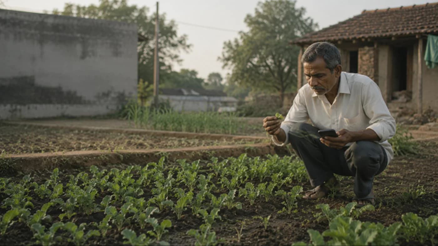
Precision agriculture began as a way to stop wasting inputs across fields too large to inspect on foot. That framing tells you immediately why most of it does not transfer to two acres: you can already inspect two acres on foot, several times a week, and you know which corner floods. The interesting question is not whether precision farming works — it does — but which parts of it survive the shrink down to Indian smallholding scale. Some do, cleanly. Others are being sold to farmers who will never recover the money.
The one test that sorts the useful from the impressive
Before any purchase, ask: will this measurement change a decision I am already making? Not will it be interesting — will it change what I do. Soil moisture at root depth is worth knowing if it moves your irrigation by a day or two. If you irrigate every Sunday regardless of what the number says, it is an expensive way to confirm your existing habit.
This one question eliminates most of what is marketed to small farmers, and it also explains why the cheap tools tend to beat the expensive ones here. A disease identified three days earlier changes a spray decision. A satellite map of a two-acre plot mostly tells you what you saw yesterday while walking through it.
What actually works at small scale
Three things clear the bar comfortably, and they share a characteristic: the sensor is a phone you already own, so the marginal cost of trying them is close to zero.
Photo-based disease and pest identification turns a guess into a shortlist, and the value is in speed — acting on day two instead of day five is often the whole difference. GPS area measurement settles the arguments that cost real money: rent per acre, seed rate, fertiliser dose, and what your yield per acre actually is. Hyperlocal weather that includes soil temperature and moisture, rather than just a city forecast, changes spray and irrigation timing in a way a district-level forecast never could.
What is marginal, and what is not for you yet
Satellite crop-vigour imagery is genuinely powerful at scale, because it shows variation across an area too large to inspect. Below roughly five acres you are the sensor, and you are a better one. It becomes useful if you farm several scattered plots and cannot visit them all weekly.
In-ground soil moisture sensors, variable-rate application machinery, owned drones and private weather stations are all real technologies that work. They are also priced against savings spread over a hundred acres. On two acres the arithmetic rarely closes, and the honest advice is to access them as a service — hire drone spraying, use a custom hiring centre — rather than buy.
| Tool | What it tells you | Worth it on 2 acres? |
|---|---|---|
| Photo disease diagnosis | Likely disease or pest, from a leaf photograph | Yes — replaces a guess or a trip to town, and costs almost nothing to try |
| GPS area measurement | Actual plot area without a measuring chain | Yes — one-time effort that settles rent, seed rate and yield-per-acre maths |
| Hyperlocal weather with soil data | Whether to spray or irrigate this week | Yes, if it actually changes your timing rather than confirming it |
| Farm record keeping app | Cost and return per plot, per season | Yes — the cheapest of all, and the one most farmers skip |
| Satellite crop vigour imagery | Uneven patches across a field | Marginal — on two acres you can see the field yourself. Useful for scattered plots |
| In-ground soil moisture sensors | Real moisture at root depth | Rarely — hardware cost is hard to recover on this area |
| Drone spraying | Faster spraying with less chemical exposure | As a hired service, sometimes. As a purchase, no |
| Variable-rate application machinery | Dose varied automatically across the field | No — built for holdings of a hundred acres and up |
| Private weather station | Your own on-farm readings | No — app and public forecasts are close enough at this scale |
Start with one, not five
The most common way this goes wrong is enthusiasm. A farmer adopts four tools in one season, gets four streams of information, changes several things at once, and at harvest cannot tell what helped. That is not a technology failure; it is an experiment design failure, and it is expensive because the conclusion is unusable.
Pick the single tool that touches a decision you make most often. For most farmers that is either disease identification, because it recurs all season, or record keeping, because it silently improves every decision the following year. Run it for a full season, keep notes, and add the second thing only when you can say what the first one changed.
Where Khetiyaar sits in this
We build several of the tools in the top half of that table, so read this section as interested. The three we would defend on a smallholding are photo disease diagnosis, GPS land measurement with unit conversion for bigha, vigha and guntha, and weather that includes soil temperature and moisture rather than a city forecast. Those are on the right side of the test above for most farmers.
The limits are equally real, and we would rather you hear them from us. A photo diagnosis is a first opinion, not a plant pathologist, and chemical doses must come from the product label. A GPS area walk is a planning estimate, not a legal survey — it must never be used for land records or a boundary dispute. And no forecast is a promise; it is a probability that shifts your odds, not a guarantee that fixes your week. If you want to work through the cost side before buying anything at all, our free farming cost and profit calculator needs no account.
Frequently asked
Is precision farming useful for small farmers in India?+
Partly. The phone-based parts — photo disease identification, GPS area measurement, soil-level weather and record keeping — genuinely pay off because the sensor is a device you already own. The hardware-heavy parts, such as in-ground sensors and variable-rate machinery, are priced against savings spread over a hundred acres and rarely recover their cost on two.
What is the cheapest precision farming tool to start with?+
Record keeping, and it is consistently the one farmers skip. Recording sowing date, inputs, costs and yield per plot costs nothing but the habit, and it is what makes every other measurement interpretable the following season. Photo disease diagnosis is the next best starting point because it recurs throughout the season.
Do I need satellite imagery for a two-acre farm?+
Usually not. Satellite crop-vigour maps show variation across areas too large to inspect on foot, and you can walk two acres in minutes. It becomes worthwhile if you farm several scattered plots you cannot visit weekly.
Should I buy a drone for my farm?+
Almost certainly not at smallholding scale. Drone spraying can make sense as a hired service — it is faster and reduces your chemical exposure — but ownership, maintenance and licensing costs are set against acreage most Indian farmers do not have. Check whether a custom hiring centre or a local operator serves your area first.
Where to go next
Want this as daily tasks for your farm?
Khetiyaar turns guides like this into a day-by-day plan — in your language, free to start.

Related guides
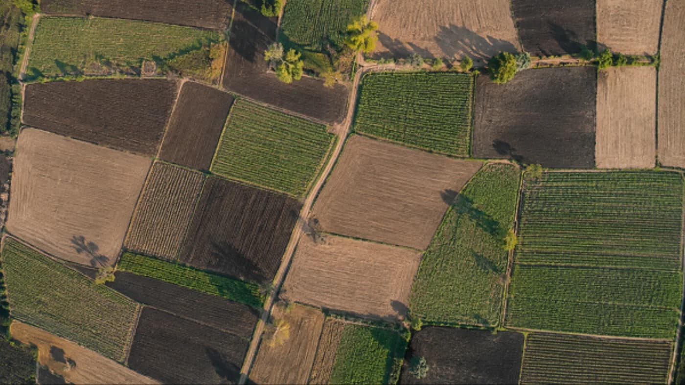
Indian Farming in 2027: Four Changes Already Underway
Not predictions — four shifts that have already started and will decide how you farm in 2027: digital farm records, the fight over your data, a fertiliser policy turn, and sensing cheap enough for two acres.
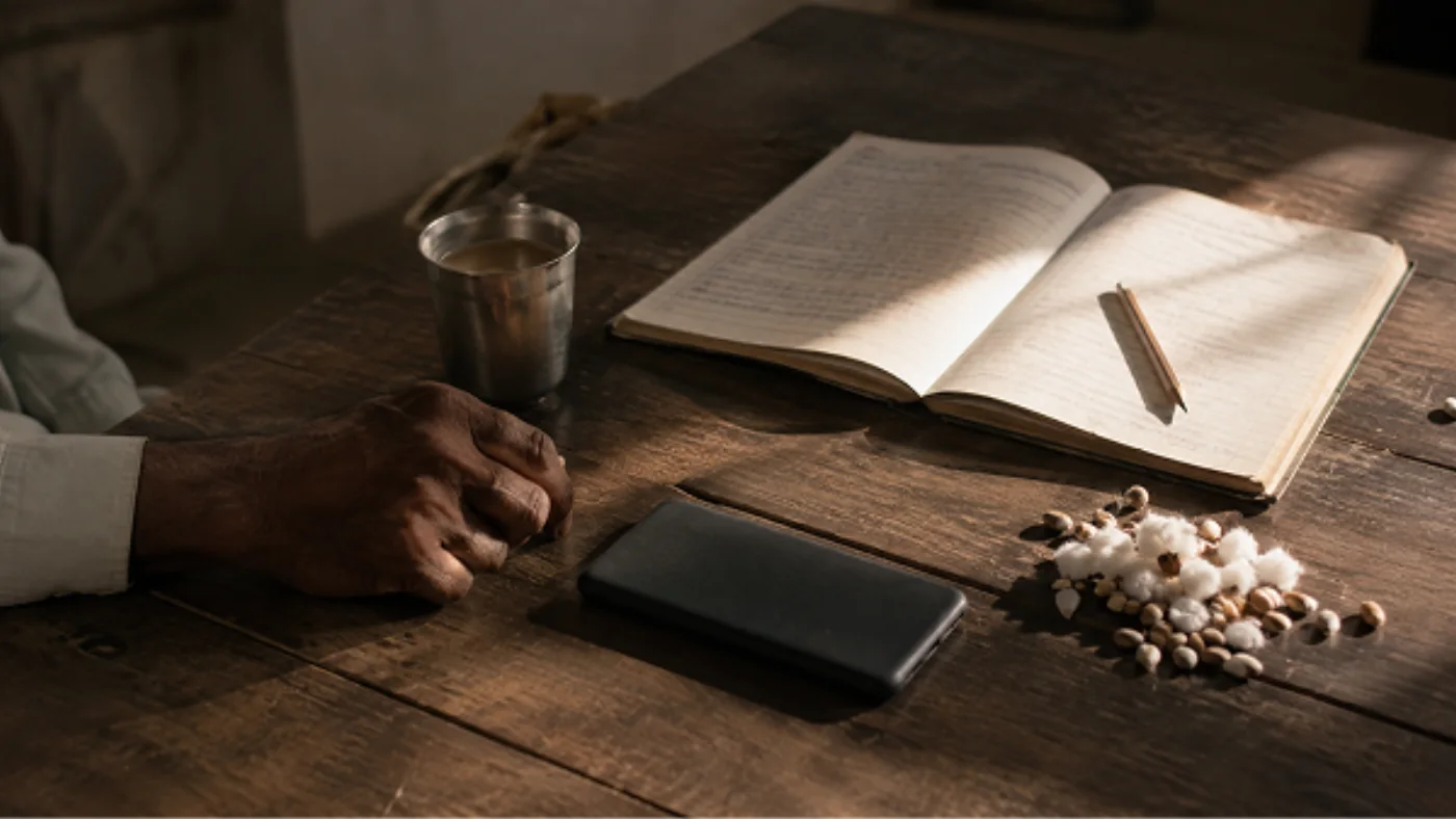
Who Owns Your Farm Data? A Plain Guide for Indian Farmers
Your cropping history is worth money to somebody. Here is what farming apps actually collect, what you should refuse outright, and what India's data protection law lets you demand.
Why Soil Testing Is Important: The Smartest Decision a Farmer Can Make
Soil quietly sets the ceiling on your yield every season. Testing it is one of the cheapest decisions on the farm — and one of the highest-returning.